High Definition Inspection and Survey
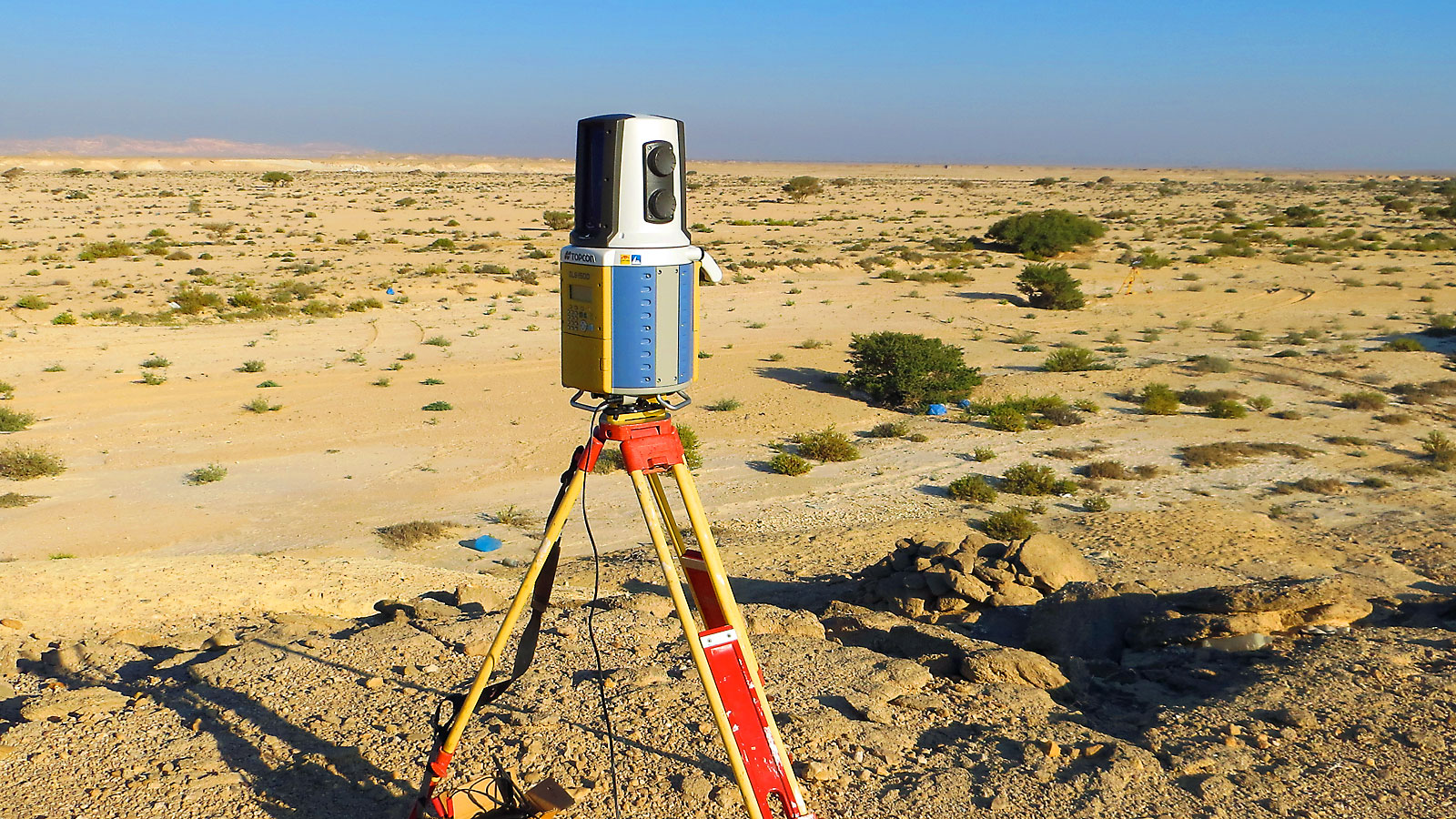
High-definition surveying/ LiDAR mapping is a terrestrial non-intrusive means of collecting detailed and accurate as-built data. Based on the latest, cutting-edge technology, high-definition scanning uses a narrow laser beam to "sweep across" a target object, so that hundreds of thousands of closely spaced measurements can be taken in a matter of minutes. When these scanned measurements are displayed on a computer, an intense representation point cloud of the target results which can be viewed and navigated much like a 3D model.
Recent technological advances make high definition land surveys the most cost-effective and time-sensitive solution for providing the highest level of detail available. This scanning service makes data available to a variety of disciplines, such as planning, engineering, and construction to name a few. In addition, it offers the advantages of improved worker safety, higher accuracy of survey data, and rapid project turnaround.
SIEC is proud to be a reputable land surveying firm offering the best in high definition scanning technology services. This powerful technology allows us to perform surveying services more quickly, providing value to our clients. We provide quality work and will complete it on time and on budget, saving you money.